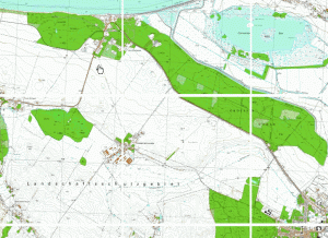
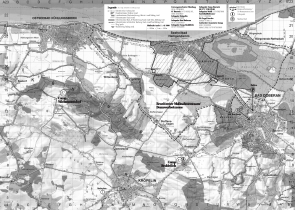
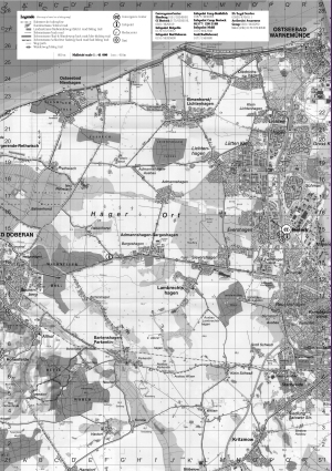
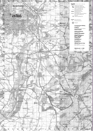
Karten rund um Heiligendamm
Interactive Map of Northern Vorpomerania
1:10.000 – Highest resolution available
Takes some time to load (6 MB)
For higher resolution click on map — Für höhere Auflösung auf die Karte klicken
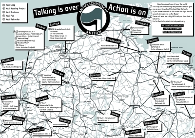
Talking is over – Action is on AFA Sweden

Bad Doberan and surroundings 1:30.000

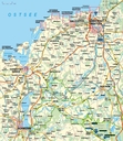
Wismar – Bad Doberan – Rostock Road Map (High Resolution)

Kühlungsborn, Bad Doberan, Rostock Road Map

Bad Doberan and surroundings Road Map

Police Headquarters (Update April 11th)

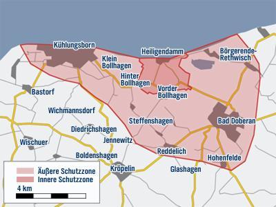
Fence inner and outer Security (Update January 14th) Drawing of Fence is not correct!
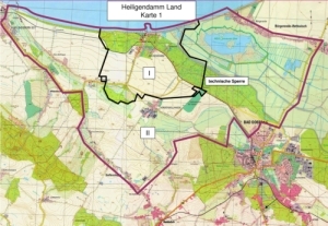
Allgemeinverfügung Heiligendamm (Stand 15. Mai 2007)

Allgemeinverfügung Laage (Stand 15. Mai 2007)

Allgemeinverfügung See (Stand 15. Mai 2007)

Gerichte und Gerichtsbezirke Mecklenburg-Vorpommern

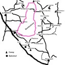
Delegates, GMO, Refugee Camps etc. (Update January 14th)
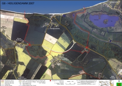
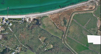
Hybridkarte Zaunverlauf, Umgebung
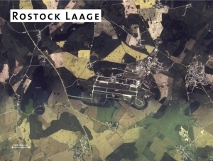
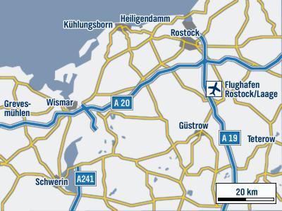
Airport Laage and surroundings (many photos, pdf)
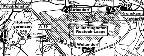
Airport Laage
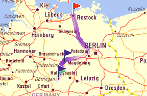
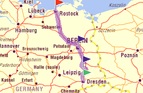
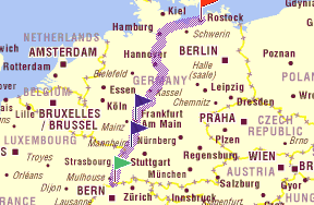
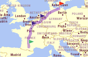
Routen Euromärsche


