2010-05-15
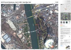
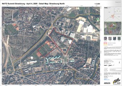
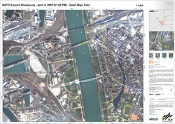
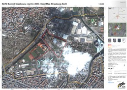
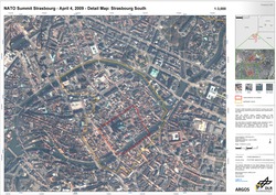
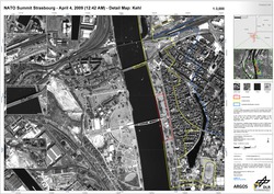
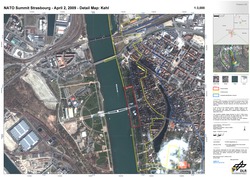
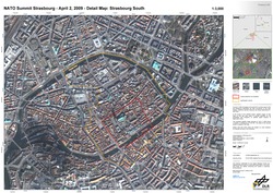
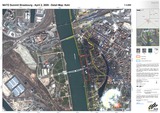
On April 4 2009, the leaders of the 26 NATO countries met in Kehl and Strasbourg. Extensive security measures were being implemented in both cities. In the course of the ARGOS project, satellite images of both cities on that day were taken to provide examples for the possibilities and limitations of satellitebased analyses of large-scale events.

Pictures in higher resolution: http://www.zki.dlr.de/applications/2009/germany/170_en.html
Example Europe Bridge while the demonstration is about to burn the ancient border point 4th April. For highest resolution (that is publically available) klick on image.
